Geoanalytics as a service

Geoanalytics as a service

SoilMate enables fast and convenient geospatial analysis right in your browser. Powered by AI and remote sensing data, SoilMate can process large areas of land, deriving specific insights and spotting trends as they take shape. It is also possible to use all features via the API.

Go to the portal
land

Analytics we provide

Agriculture

Forestry

  • Deforestation, afforestationDetails
  • Net Forest Carbon SequestrationDetails

General

Veiw full catalog
tablet

Your benefits

Start trial

01Proven simplicity

It’ll take only 3 steps to get results. SoilMate – your fastest path to geoanalytics.

02Pay for usage only

We will charge you solely for the requests you make considering the size of the analyzed area.

03Wide range of use

We have various AI tools out of the box, with a few unique ones, and we’re working on expanding this list even more.

04Custom requests

If you need specific analytics not currently offered in our service, we can develop a model tailored to meet your needs.

How it works

Step 1

Define your area of interest (AOI)

Step 2

Request for specific analytics with 
out-of-the-box AI tools

Step 3

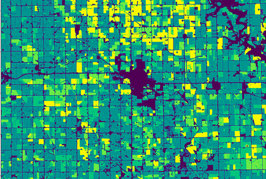
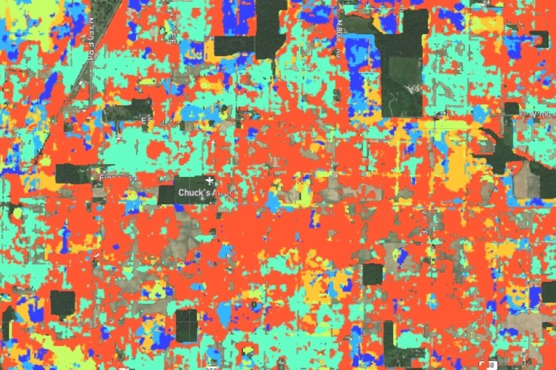
Get your data visualization reports

Last update

CEO Ruben Melkonian to speak at VDS2023

CEO Ruben Melkonian to speak at VDS2023

Ruben Melkonian will speak at VDS2023 on global trends in forest carbon sequestration.

Read more
SoilMate became a member of EARSC

SoilMate became a member of EARSC

SoilMate became a member of the European Association of Remote Sensing Companies.

Read more
Crop Type model has a new version

Crop Type model has a new version

The SoilMate team has completed work on improving the results for the Crop Type model.

Read more

Use cases

Impact of crop rotation 
on organic matter content and fertilizer use

Farmers commonly use crop rotation, but this practice might gradually decrease soil organic matter. In the scope of this project, we were tasked to analyze croplands in Iowa used over the last five years and compare the changes in soil organic matter of fields that practiced crop rotation and those that didn’t.
Learn more

Analysis of flooded areas 
and the impact of floods 
on crops

The flood that occurred on July 15, 2021, was a severe disaster impacting lands in the Netherlands and beyond. We used Soilmate to examine the flooded farmlands, understand how the flood affected crop production, and find signs of soil degradation.
Learn more

Improving the way crop types 
are classified using satellite imagery

Crop type classification is a common task in agriculture. Read how Soilmate allowed our client to analyze his farmlands in Ohio and visualize the results on a detailed crop map, showing the specific crop being cultivated at a particular location.
Learn more

Contact us